Our work
Use cases, not service lists.
Real projects for real institutions — filtered by theme, the way Earth Genome does it, because that's how clients actually browse.
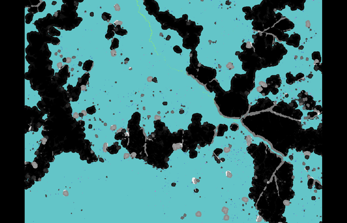
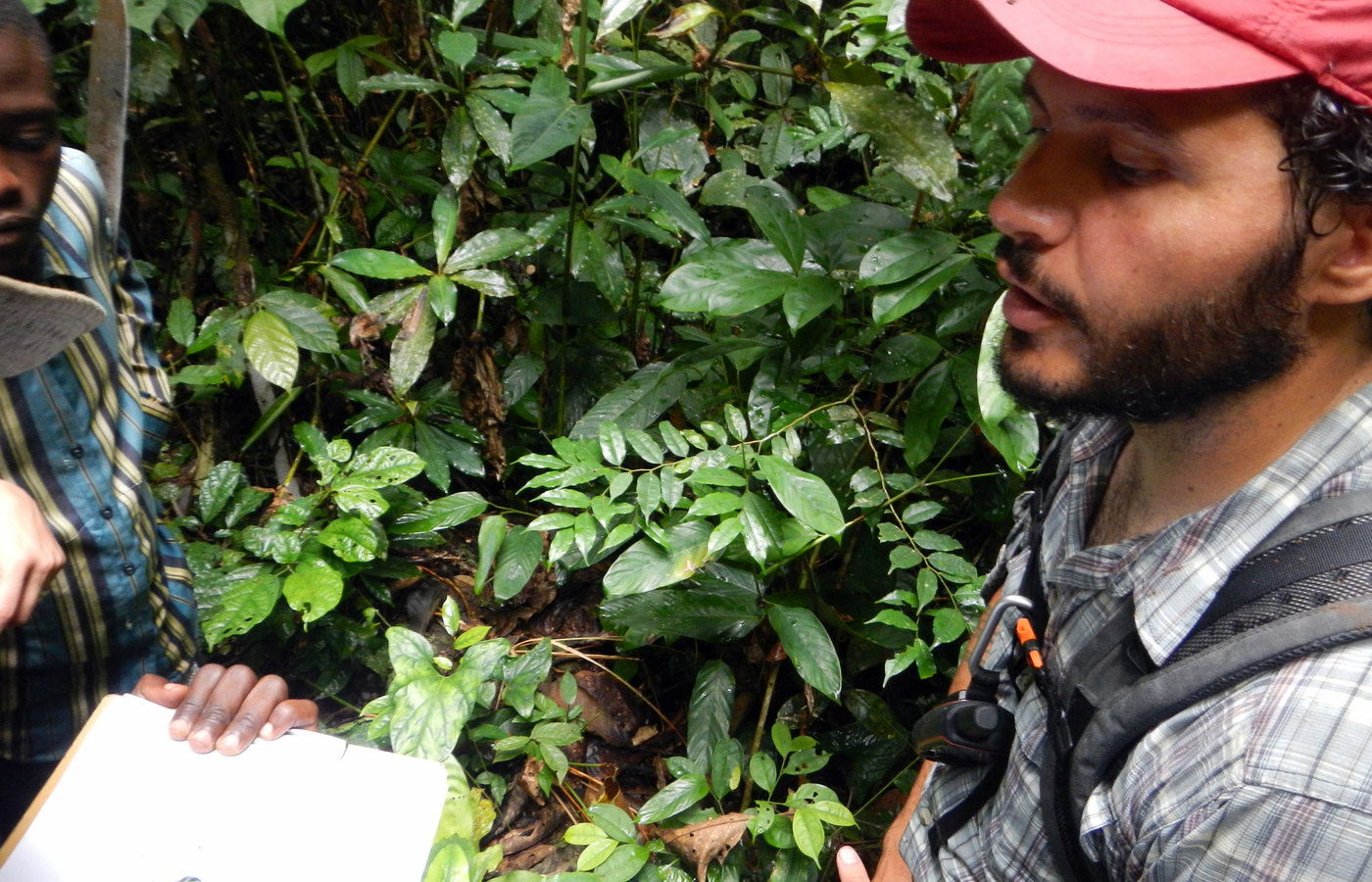
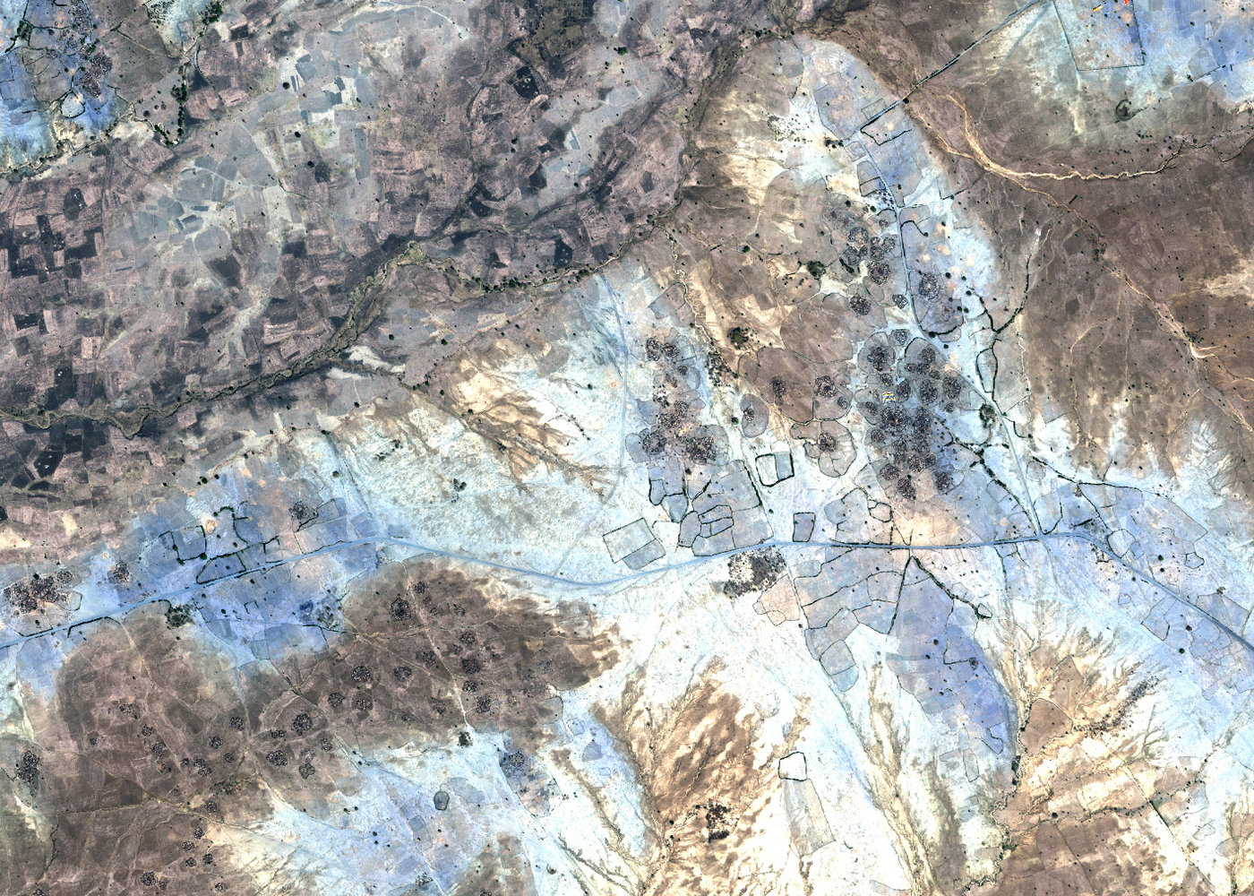
Mapping shifting cultivation and forest loss across the Congo Basin
A decade of remote-sensing research at the University of Maryland's GLAD lab that separated cyclical 'rural complex' farming from genuine new deforestation in the DRC — published across four peer-reviewed papers and covered by Mongabay and Global Forest Watch.
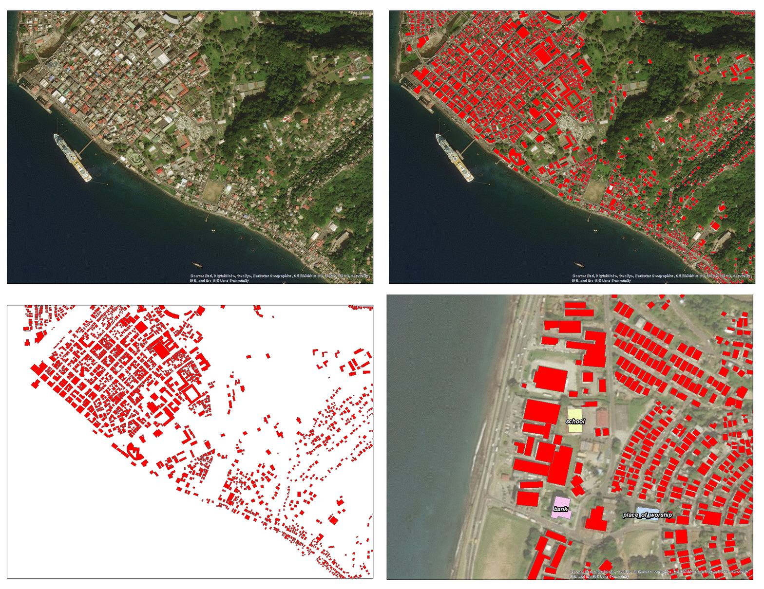
Climate risk, exposure and resilience analytics in Nepal
Satellite-based exposure and climate-risk analysis supporting World Bank operations in Nepal — including contributions to the public 'Climate Risks, Exposure, Vulnerability and Resilience in Nepal' report.
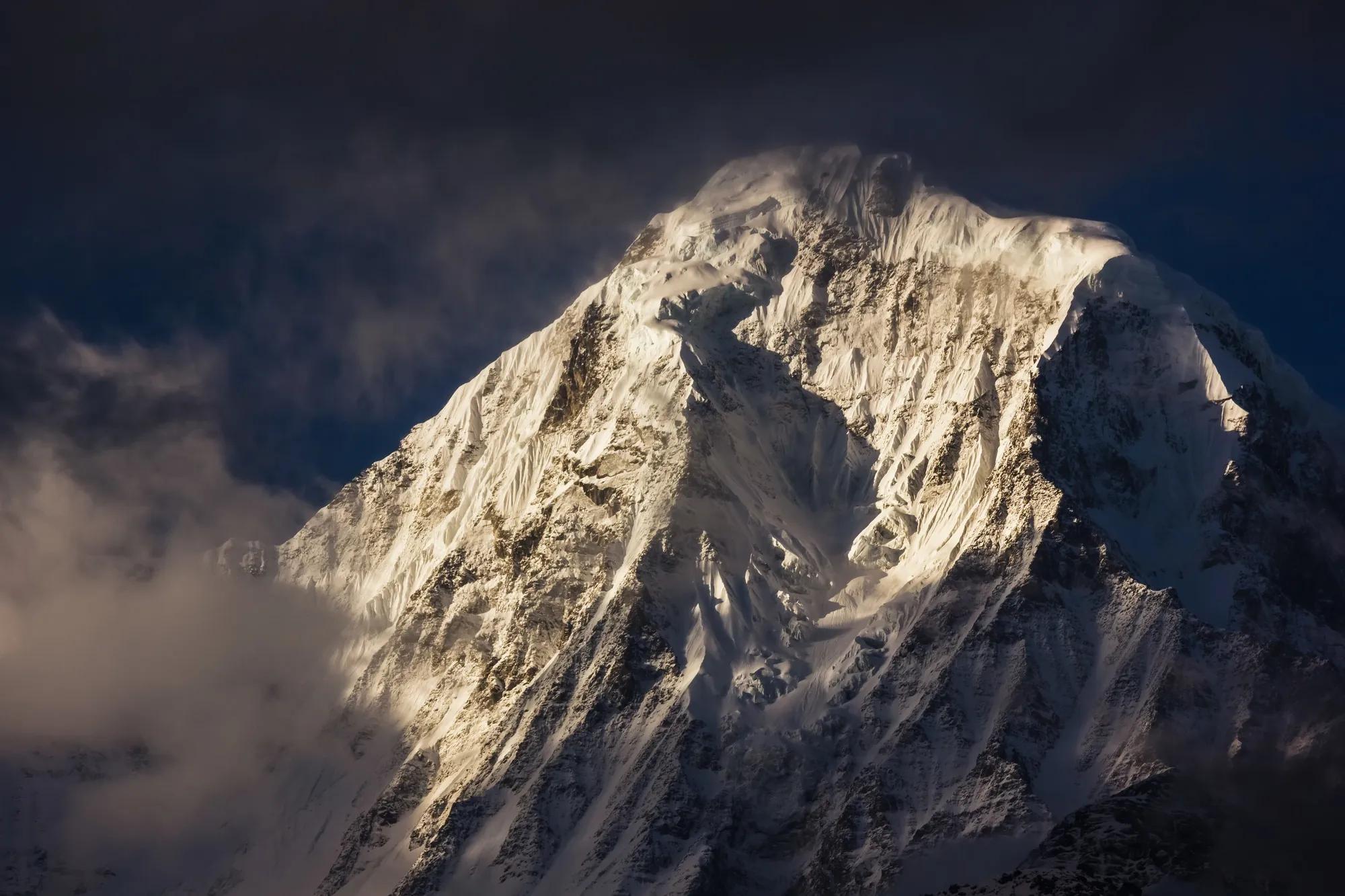
UR Field Labs — co-designing new paradigms for climate & disaster risk
Month-long, participant-led 'unconferences' in Chiang Mai and Kathmandu bringing together a global, interdisciplinary community to produce tools, research, maps and creative media on climate and disaster risk.
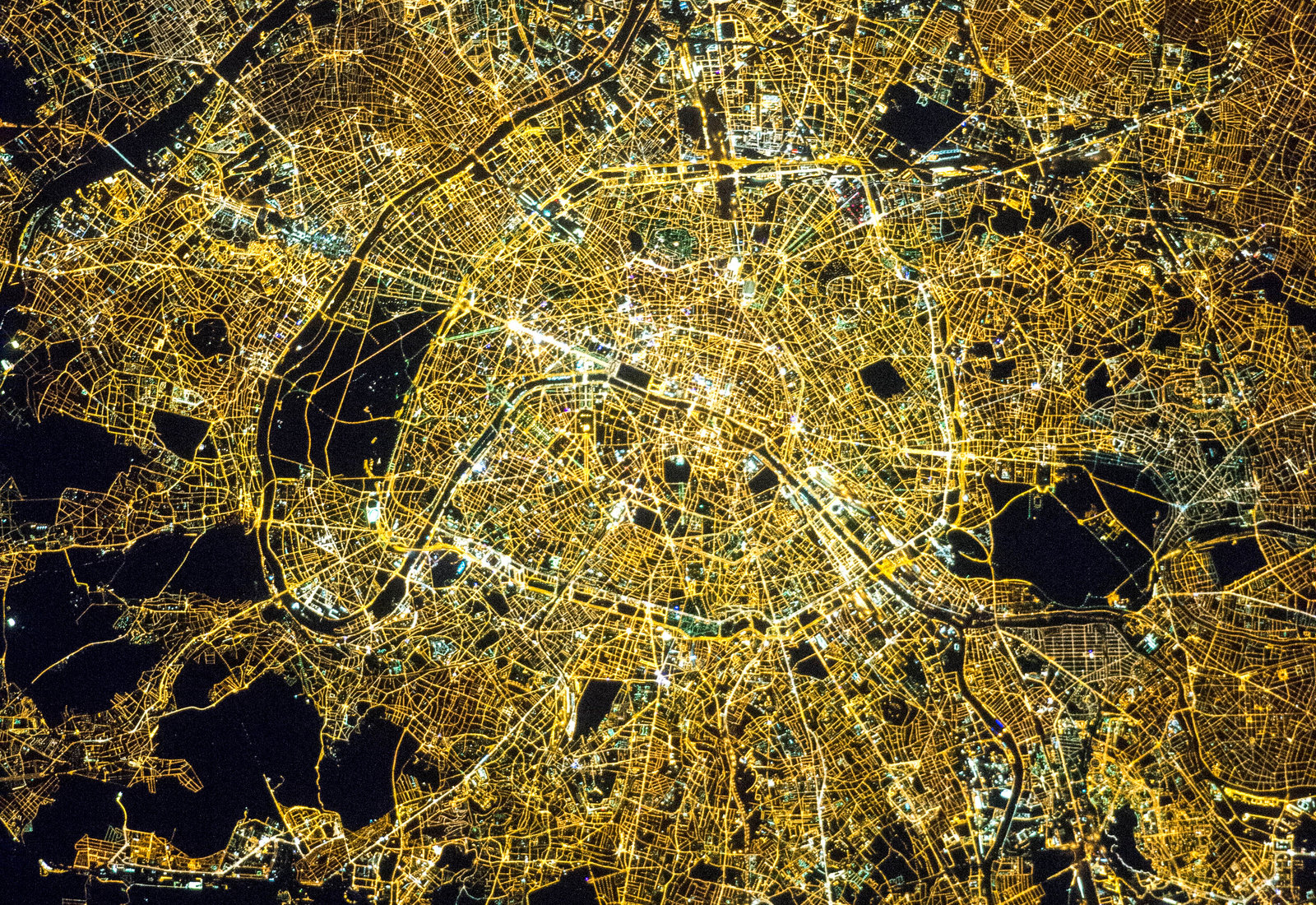
Machine learning for disaster risk management
Co-authored guidance and research on how machine learning can support the disaster-risk-management cycle — from exposure mapping to post-event damage assessment.
Geospatial analytics for migration: the Ukrainian crisis
Contribution to IOM's work on the digital and data dynamics of migration during the Ukrainian crisis.
Disaster risk analytics for food security in the Philippines
Geospatial analysis supporting WFP country operations in the Philippines — connecting hazard and exposure data to humanitarian and food-security decision-making.